.png?width=800&name=Welcome%20in%20GoPomelo%20(4).png)
.png?width=800&name=Welcome%20in%20GoPomelo%20(5).png)
-1.png?width=800&name=Welcome%20in%20GoPomelo%20(3)-1.png)
Build with reliable navigation information wherever you are.
Count on accurate, real-time location information.
Scale confidently, backed by our infrastructure.
Provide reliable directions anywhere in the world
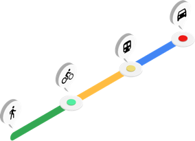
Help your users plan jogging routes in Singapour. Or find hotels near their next stop in Bangkok. Routes has comprehensive, up-to-date transit, biking, driving, and walking directions covering 40 million miles of roads in over 200 countries and territories. Wherever you do business, you can count on comprehensive, reliable routes.

Create efficient routes to lower costs and improve customer experiences
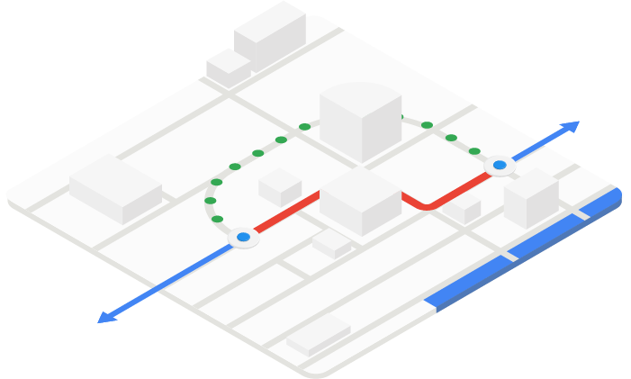
Plan trips with up-to-date data on distances between points, suggested routes, and estimated travel times. With the ability to create efficient routes for up to 25 waypoints, you can streamline delivery systems, create sightseeing itineraries for travelers, or guide rental car customers from your office to their hotels.
Keep your workforce moving, even during rush hour
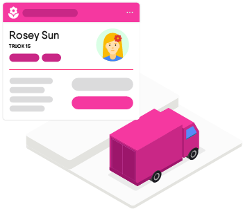
Choose faster routes or reallocate deliveries to workers based on real-time traffic conditions. Use predictive traffic models to plan ahead, keeping your workers out of slowdowns and decreasing late deliveries.


Rely on Google scale as you grow
Whether you’re expanding your delivery radius, planning for spikes in traffic, or helping users find your new store locations, you can be sure Google Maps Platform will scale as you do. On our secure, future-proof infrastructure, you can grow from prototype to planet-scale without having to think about capacity, reliability, or performance.Features
Directions
Get directions for transit, biking, driving, and walking. Calculate current or future travel times based on real-time traffic.
Distance matrix
Deliver travel times and distances for one or more locations.
Roads
Create precise itineraries by determining the route a vehicle has traveled and the nearest roads along each point of the vehicle's journey.


